West Africa(UN: Western Africa)
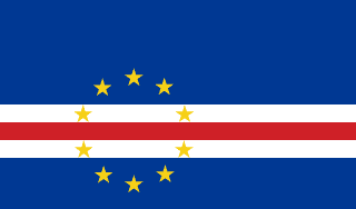
Cape Verde
Republic of Cabo Verde
An Atlantic archipelago settled from empty islands by Portuguese colonists and enslaved Africans, now a stable democracy famous for morna and for its global diaspora.
Scroll or pinch to zoom · drag to pan · borders: Natural Earth 1:50m
Cape Verde in pictures
Flag, landscapes, landmarks and wildlife you can meet in the games. Photographs come from each subject’s Wikipedia article.
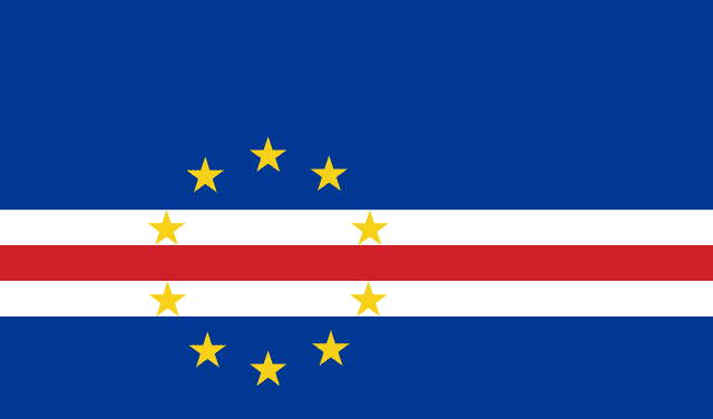
Flag
Flag of Cape Verde
National flag
- Pico do Fogo
Landscape
Pico do Fogo
A real place in Cape Verde
- Cidade Velha
Landmark
Cidade Velha
The first European colonial town in the tropics, founded in 1462.
- Pico do Fogo
Landmark
Pico do Fogo
Villagers farm coffee and grapes inside the crater of an active volcano.
- Santo Antão ridges
Landmark
Santo Antão ridges
Farmers grow sugar cane on knife-edge ridges above the clouds.
- Praia
City
Praia
Capital of Cape Verde
Capital
Praia
Population
527,326
World Bank, 2025
Area
4,033 km²
Currency
Cape Verdean escudo
GDP per person
$5,796
Current US$, 2025
Life expectancy
76.2 yrs
World Bank, 2024
Urban population
77.6%
UN member
Yes
Quick facts
Did you know?
The islands were uninhabited before 1456 — everyone here arrived by sea.
Morna was added to UNESCO's intangible heritage list in 2019.
Your route
Where to start with Cape Verde
Every chapter above begins with the essentials and then lets you keep going deeper — four levels of depth, or your own question, researched from this country's reference data and our sourced library.
Go deeper: Orientation of Cape Verde
Researched live from this country's reference data and our library. Keep pressing to go further, or ask your own question.
Enjoying this without interruptions?
Go ad-free across the whole of MOTHERLAND from £0.99 a month. Creating a free account takes a moment.
Reference figures come from the World Bank Open Data API and the ISO 3166 country dataset, each shown with its year. Historical and cultural text is written by our editors and marks contested dating where scholars disagree. The "go deeper" chapters are generated live by Africa AI from that same reference data and our sourced library — check them before quoting. Borders shown are for orientation and do not imply a position on any dispute.