Central Africa(UN: Middle Africa)
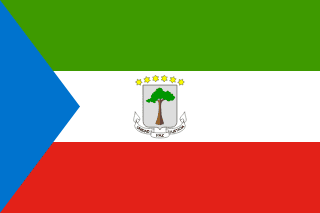
Equatorial Guinea
Republic of Equatorial Guinea
A small Spanish-speaking country of an island capital and a mainland enclave, with very high oil income per head and a long-standing gap between that wealth and living conditions.
Scroll or pinch to zoom · drag to pan · borders: Natural Earth 1:50m
Equatorial Guinea in pictures
Flag, landscapes, landmarks and wildlife you can meet in the games. Photographs come from each subject’s Wikipedia article.
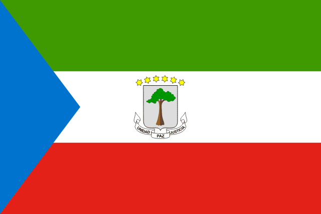
Flag
Flag of Equatorial Guinea
National flag
- Bioko
Landscape
Bioko
A real place in Equatorial Guinea
- Bioko island peaks
Landmark
Bioko island peaks
Volcano slopes with seven kinds of monkey and nesting sea turtles.
- Monte Alén
Landmark
Monte Alén
Forest hills full of goliath frogs, the biggest frogs on Earth.
- Mandrill
Wildlife
Mandrill
The most colourful mammal in the world — and the largest monkey.
- Goliath frog
Wildlife
Goliath frog
The world's largest frog — as long as a house cat and able to move rocks.
- Drill
Wildlife
Drill
One of Africa's most endangered primates, living in troops of 200.
- Malabo
City
Malabo
Capital of Equatorial Guinea
Capital
Malabo
Population
1,938,431
World Bank, 2025
Area
28,051 km²
Currency
Central African CFA franc
GDP per person
$6,615
Current US$, 2025
Life expectancy
63.9 yrs
World Bank, 2024
Urban population
71.6%
UN member
Yes
Quick facts
Did you know?
The capital sits on a volcanic island 40 km from the mainland part of the country.
Portuguese and French are also official languages alongside Spanish.
Your route
Where to start with Equatorial Guinea
Every chapter above begins with the essentials and then lets you keep going deeper — four levels of depth, or your own question, researched from this country's reference data and our sourced library.
Go deeper: Orientation of Equatorial Guinea
Researched live from this country's reference data and our library. Keep pressing to go further, or ask your own question.
Enjoying this without interruptions?
Go ad-free across the whole of MOTHERLAND from £0.99 a month. Creating a free account takes a moment.
Reference figures come from the World Bank Open Data API and the ISO 3166 country dataset, each shown with its year. Historical and cultural text is written by our editors and marks contested dating where scholars disagree. The "go deeper" chapters are generated live by Africa AI from that same reference data and our sourced library — check them before quoting. Borders shown are for orientation and do not imply a position on any dispute.