North Africa(UN: Northern Africa)
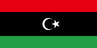
Libya
State of Libya
A Mediterranean and Saharan country of Phoenician and Roman cities and Amazigh and Tuareg populations, transformed by oil, ruled by Gaddafi for 42 years, and divided since 2011.
Scroll or pinch to zoom · drag to pan · borders: Natural Earth 1:50m
Libya in pictures
Flag, landscapes, landmarks and wildlife you can meet in the games. Photographs come from each subject’s Wikipedia article.
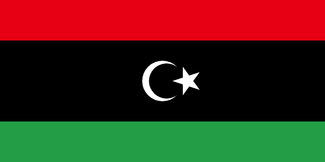
Flag
Flag of Libya
National flag
- Leptis Magna
Landscape
Leptis Magna
A real place in Libya
- Leptis Magna
Landmark
Leptis Magna
One of the best-preserved Roman cities anywhere in the world.
- Ghadamès old town
Landmark
Ghadamès old town
Covered alleyways keep the streets cool; roof terraces were the women's road.
- Cyrene
Landmark
Cyrene
A Greek city founded in 631 BCE, famous for a plant its people ate to extinction.
- Fennec fox
Wildlife
Fennec fox
Its huge ears dump body heat and hear insects moving under the sand.
- Barbary sheep
Wildlife
Barbary sheep
It can climb near-vertical rock and go without drinking for days.
- Tripoli
City
Tripoli
Capital of Libya
Capital
Tripoli
Population
7,458,555
World Bank, 2025
Area
1,759,540 km²
Currency
Libyan dinar
GDP per person
$6,449
Current US$, 2025
Life expectancy
71.1 yrs
World Bank, 2024
Urban population
87.9%
UN member
Yes
Quick facts
Did you know?
The Great Man-Made River pipes fossil groundwater from the Sahara to the coastal cities.
Acacus rock art shows a Sahara that once had rivers and herds.
Your route
Where to start with Libya
Every chapter above begins with the essentials and then lets you keep going deeper — four levels of depth, or your own question, researched from this country's reference data and our sourced library.
Go deeper: Orientation of Libya
Researched live from this country's reference data and our library. Keep pressing to go further, or ask your own question.
Enjoying this without interruptions?
Go ad-free across the whole of MOTHERLAND from £0.99 a month. Creating a free account takes a moment.
Reference figures come from the World Bank Open Data API and the ISO 3166 country dataset, each shown with its year. Historical and cultural text is written by our editors and marks contested dating where scholars disagree. The "go deeper" chapters are generated live by Africa AI from that same reference data and our sourced library — check them before quoting. Borders shown are for orientation and do not imply a position on any dispute.