Southern Africa(UN: Eastern Africa)
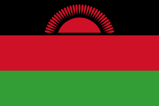
Malawi
Republic of Malawi
The 'warm heart of Africa': a narrow country dominated by one of the world's great lakes, with the Maravi kingdom behind its name.
Scroll or pinch to zoom · drag to pan · borders: Natural Earth 1:50m
Malawi in pictures
Flag, landscapes, landmarks and wildlife you can meet in the games. Photographs come from each subject’s Wikipedia article.
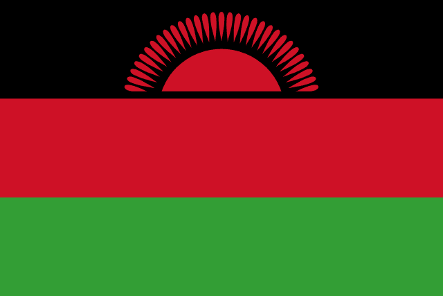
Flag
Flag of Malawi
National flag
- Lake Malawi
Landscape
Lake Malawi
A real place in Malawi
- Nyika Plateau
Landmark
Nyika Plateau
Rolling grassland highlands full of orchids and roan antelope.
- Lake Malawi
Landmark
Lake Malawi
It holds more species of fish than any other lake on Earth.
- Mount Mulanje
Landmark
Mount Mulanje
Rises 3,000 m straight out of the tea fields around it.
- Sable antelope
Wildlife
Sable antelope
A defending bull can fend off lions with its metre-long horns.
- Lake Malawi cichlids
Wildlife
Lake Malawi cichlids
Over 800 species live here and nowhere else — many carry eggs in their mouths.
- Nyala
Wildlife
Nyala
Males are shaggy and grey, females bright chestnut — as if two species.
- Lilongwe
City
Lilongwe
Capital of Malawi
Capital
Lilongwe
Population
22,216,120
World Bank, 2025
Area
118,484 km²
Currency
Malawian kwacha
GDP per person
$672
Current US$, 2025
Life expectancy
67.6 yrs
World Bank, 2024
Urban population
17.6%
UN member
Yes
Quick facts
Did you know?
The lake covers about a fifth of the country's area.
Chongoni holds the densest cluster of rock art in Central Africa.
Your route
Where to start with Malawi
Every chapter above begins with the essentials and then lets you keep going deeper — four levels of depth, or your own question, researched from this country's reference data and our sourced library.
Go deeper: Orientation of Malawi
Researched live from this country's reference data and our library. Keep pressing to go further, or ask your own question.
Enjoying this without interruptions?
Go ad-free across the whole of MOTHERLAND from £0.99 a month. Creating a free account takes a moment.
Reference figures come from the World Bank Open Data API and the ISO 3166 country dataset, each shown with its year. Historical and cultural text is written by our editors and marks contested dating where scholars disagree. The "go deeper" chapters are generated live by Africa AI from that same reference data and our sourced library — check them before quoting. Borders shown are for orientation and do not imply a position on any dispute.